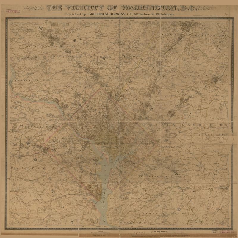
The Vicinity of Washington, D.C.
Description:
This map shows Arlington County as well as the District of Columbia and neighboring Virginia and Maryland counties. In the years after the Civil War, Arlington neighborhoods and trolley lines continued to form and expand. Increasingly these developments moved away from piecemeal, individual home building and toward large, centrally planned community developments.
Collection:
Maps
Date:
1894
Creator:
Griffith Morgan Hopkins
Source:
<a href="http://www.loc.gov/item/88693364">Library of Congress, Geography and Map Division.</a>
Subject
None recorded.Identifier
None recorded.Contributor
None recorded.Tags
Rights
The maps in the Map Collections materials were either published prior to 1922, produced by the United States government, or both (see catalogue records that accompany each map for information regarding date of publication and source). The Library of Congress is providing access to these materials for educational and research purposes and is not aware of any U.S. copyright protection (see Title 17 of the United States Code) or any other restrictions in the Map Collection materials.Citation
Griffith Morgan Hopkins, “The Vicinity of Washington, D.C.,” Built By the People Themselves, accessed April 25, 2024, https://lindseybestebreurtje.org/arlingtonhistory/items/show/2.
